There is no question about it, if you are in good shape and have put in the preparation, the view at Counts Point is worth the trouble. It is a prime vantage point on the West MacDonnell National Park’s Larapinta Trail. The track is not for the casual stroller in a pair of floppy runners; you will find most hikers are more seasoned types who have come via Section 8 from Serpentine Gorge or are making a longer day of it.
I am Henry Northwood and I have an affinity for this type of walk: unadorned, practical and, with the right organisation, memorable. You won’t be rolling up from the carpark to a lookout at counts point. It is as much of a Red Centre walk as you could want, with its fair share of exposure and climbs, and it does not forgive poor planning.
What Justifies The Walk
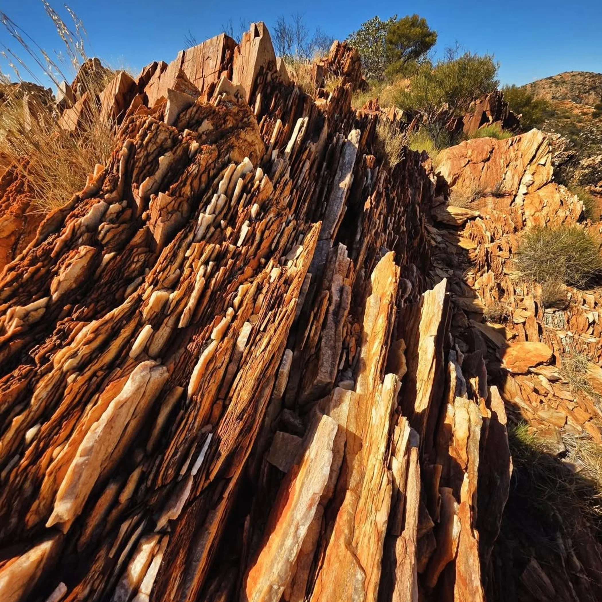
You will not find a quick photo op here. Yet for those who prefer a route that has been earned, one where you can feel you are properly in the bush with the desert spread out before you, Counts Point is your track. As I would say, it is a place to make you realise the Red Centre does not give anything away for nothing. What you get in return is a high, open spot for some photography with panoramas of the West MacDonnell ranges, and then the bench at Counts Point where you can sit and let the wind have its say.
Positioning On The Trail
West of Alice Springs in the Northern Territory you will find Counts Point on the Larapinta Trail in the West MacDonnell National Park. More specifically it is in Section 8, between the Serpentine Chalet Dam and Serpentine Gorge. A map of Counts Point will show it as a lookout area, not an easy stop by the road. Those doing their route planning will often link it with Ellery Creek and the possibility of an overnight. From the side of Serpentine Gorge it is a high point for many.
Points Of Reference
Geographically you have the ridgelines of the park, Ellery Creek and Serpentine Gorge. In practice the gorge is where a day walker will put in his time, whereas a through-hiker on the Larapinta will come across it in the course of a section.
How To Get There Properly
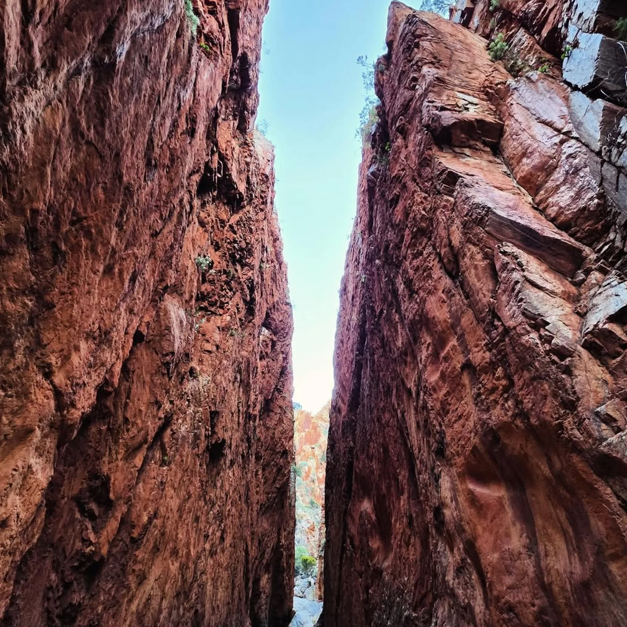
One makes a wrong turn in town and it is a nuisance; do it in the Red Centre and a perfectly good day can become rough as guts. So directions are important. Provided you plan from Alice Springs and have checked the state of the roads and the park, access is simple enough.
The way to go is to drive west into the park off Namatjira Drive. For the standard Counts Point hike you will be parking at the Serpentine Gorge trailhead, the sensible place to start. Make sure you have looked at the Northern Territory Government information for West MacDonnell National Park for any closures or alerts first.
Directions
Figure on 1.5 to 2 hours of driving from Alice Springs either way, give or take, depending on the roads and whether you have been made to wait behind a caravan or two. This sealed approach on Namatjira Drive is what visitors to Serpentine Gorge will use.
Don’t think you can do this as an independent hike without a car and rely on public transport. That is a mistake some make in thinking remote NT sights are like a suburban trailhead. They are not. Your only real options are to book with a Larapinta Trail operator or arrange a private transfer or supported itinerary.
Ways To Start
Serpentine Gorge to Counts Point is the day-walk of choice. You may come across talk of going from Ellery Creek to Counts Point but for the majority of visitors it is not the straightforward option. Save Ellery Creek for a separate outing or a more elaborate plan.
| Route Option | Best For | Approximate Distance | Difficulty | Notes |
| Serpentine Gorge To Counts Point | Strong day hikers | About 15 km return | Grade 4 hike | Most practical single-day walking route |
| Larapinta Trail Section 8 Through-Walk | Multi-day trekkers | Long section walk | Moderate to hard | Counts Point is one highlight among several |
| Ellery Creek Plus Nearby Sights | Scenic drivers | Variable | Easy to moderate | Better as a separate visit than a direct Counts Point day walk for most people |
On Distance, Time And Difficulty
You will find the numbers here that are of most use: the Counts Point is generally put down as a 15 km return. In truth the time and distance can vary on where you put in your start, what the route notes say, or if you make a point of stopping for a photo or a snack. Do not think of it as something to put in with a casual stroll.
A fit hiker coming from Serpentine Gorge will put in 5 to 7 hours as a rule of thumb. Then add on for the heat or frequent halts, or for any in your party who consider themselves “basically fit” by virtue of putting in two dog walks a week. It is a grade 4 affair with its share of rock, steady exertion and elevation to be made up.
Who Should Be Doing This Walk
Good footwear and a measure of common sense to be up early are called for. This is an experienced walker’s country with the fitness to match. Not so much for the beginner, small children, anyone who does not like the heat or the traveller who has had a long drive from Alice Springs and is bent on cramming too much in.
With only a day to spare, concentrate on making the Counts Point from the Gorge side of things instead of attempting to tack on half the region. Some maps will have the West Macs looking deceptively flat. They are not; they will eat into your time.
The Nature of the Track
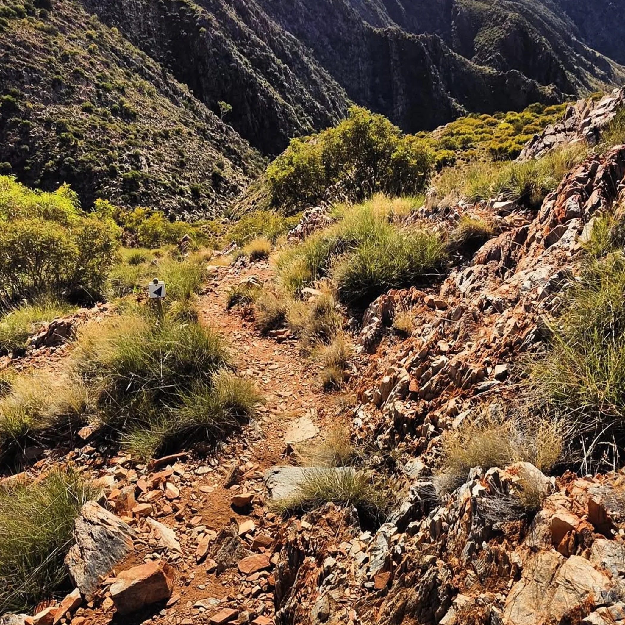
Open desert and ridgelines give the trail its character, and with it a feeling of climbing to a superior vantage. There is no shade or lushness to be had. You are hiking dry country and the sun and rock will have their way with the day. The ground is uneven and there are parts of the ascent that require you to pay attention. But when you get to the lookout at Counts Point the land opens up. There is even a bench to put a somewhat civilised end to the effort, which is rather cheeky after the work of it.
What You Think Vs What Is
You may expect a signed lookout you can put in and out of with a quick picture. The reality is a proper bush walk where the view is had one step at a time. Or the notion that the dry heat spares you from sweating. You will dehydrate quicker than anticipated and find little in the way of shade, a fact that tends to catch visitors from cooler climes unawares.
Camping In The Vicinity
If you are inclined to camp at Counts Point, bear in mind this is a matter of trail-based planning, not your typical drive-in holiday park. Whether you are after a night near by or part of a Larapinta multi-day itinerary will determine your options. One might come across the phrase “Counts Point campsite” but check the official arrangement and any permits needed first; do not put stock in an old blog or forum post. Things in the Red Centre have a habit of dating badly.
Regulations And Permits
Leave the third-party summaries aside and go to the Northern Territory Parks for the word on fees, access and camping. Seasonal and track conditions will see requirements change.
Costs are a function of how you travel. A self-driven day walk means fuel, food and perhaps a night in Alice Springs or a local campground, plus any park fees. With a supported operation like LarapintaTrailTour the price tag is higher but you are paying to have someone else deal with the water and transport, which can be worth it to eliminate the possibility of error.
Gear, Water And Where People Go Wrong
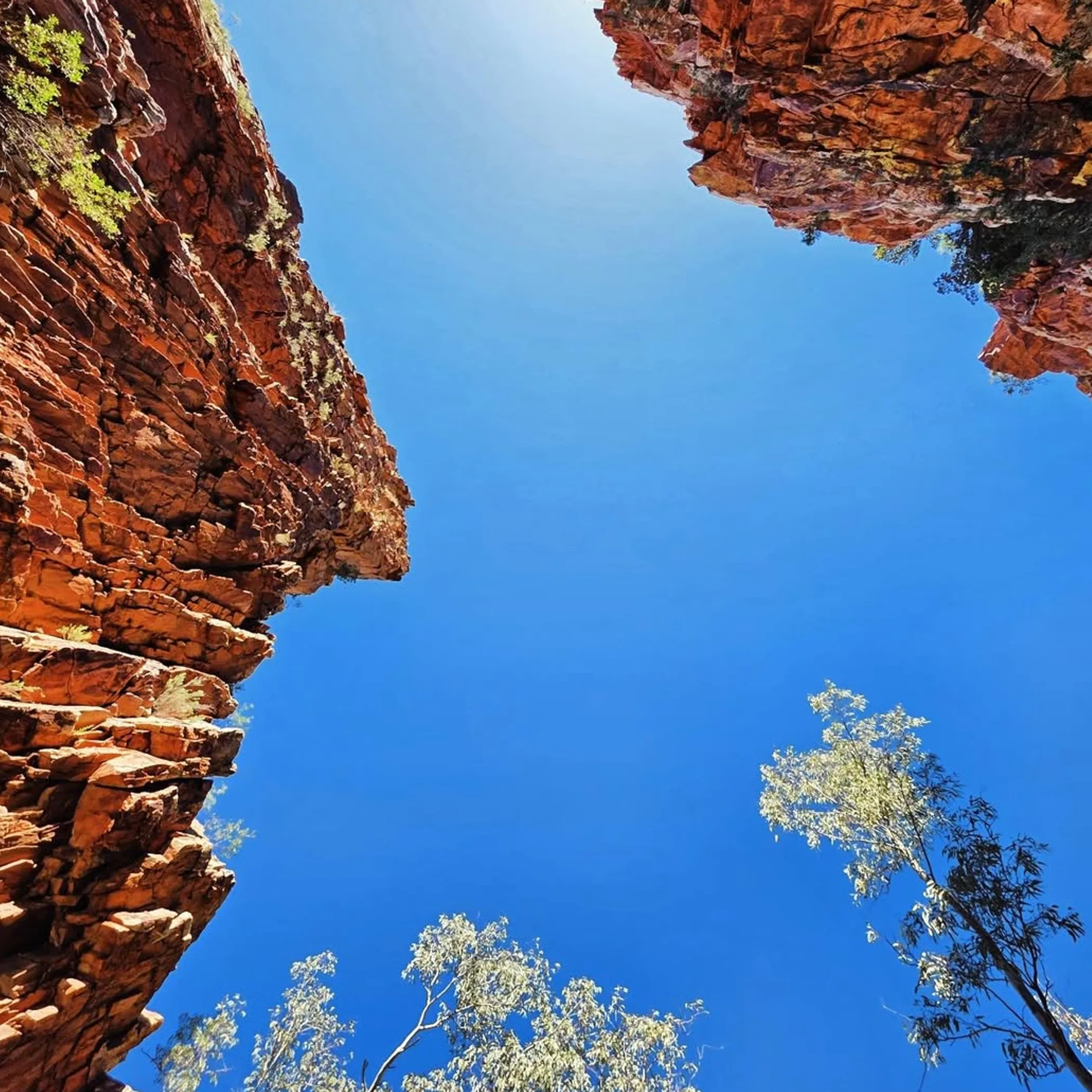
Enthusiasm is no substitute for good planning. The West Macs are to be respected, not viewed with optimism. Henry Northwood would tell you most get the conditions wrong, not the walking. They put too fine a point on their pace and forget that a “lookout walk” is still a serious undertaking in the bush.
- Make sure you have ample water and do not count on the track for refilling.
- Put on some boots or shoes with grip; smooth-soled sneakers are out of place here.
- Make an early start to put the worst of the day behind you, in the hotter months in any case.
- Do not be content with a muesli bar left to rattle in the glovebox; pack something with some substance and salt to it.
- Put in the effort on sun protection: long sleeves, sunscreen, a hat and your sunnies.
- Have your offline navigation in place before you head out, perhaps via AllTrails or TrailHiking for a bit of supplementary planning, but do not make them your sole authority.
- For those on their own, let someone know what is planned.
A Question Of Water And Weather
In the NT a walk that should be fine can become an ordeal in no time. When it is hot, timing is what separates a good hike from a miserable one. You have dry air, rock reflecting heat and little shade to contend with.
Then there is the matter of the season. The cooler months are more enjoyable and safer as a rule. Hotter ones demand an earlier hour, less room for error and a degree of self-discipline. Should it have rained of late you may find some parts of an open route are trickier and take longer underfoot.
Nearby Attractions To Put On The Itinerary
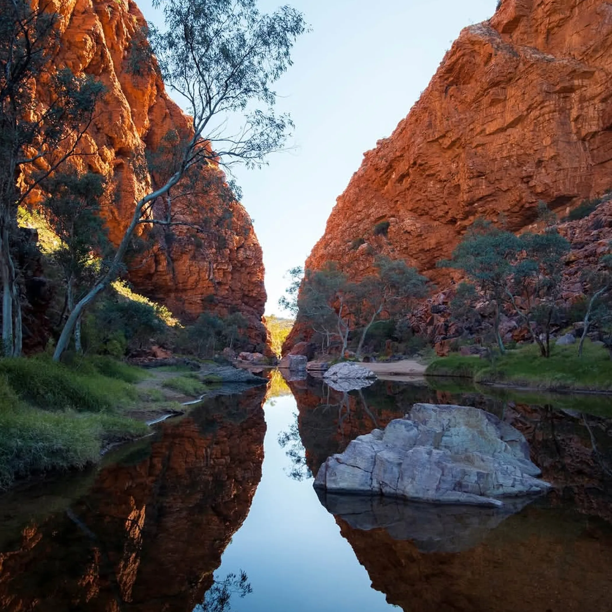
There is no point in making the drive and then rushing back to town afterwards. In the vicinity of Counts Point you will be amply repaid for a few extra hours.
Ellery Creek and Serpentine Gorge are the natural accompaniments to the walk; they put the landscape in perspective and make the journey more than a single-track exercise.
Ellery Creek
One of the better known places in the West MacDonnell National Park and for good reason. More accessible to all manner of traveller than Counts Point, it is a good option if one of your party would like the scenery without the hard work.
Serpentine Gorge
An attraction in its own right, it also serves as the trailhead reference for the day walk up the Larapinta to Counts Point. If you have the time, slow down and have a proper look at it instead of regarding it as a carpark with rocks.
When To Go
The track is simply more agreeable in the cooler part of the year. An early morning is to be recommended in any season for a softer light and a climb that is less of an undertaking.
Photography
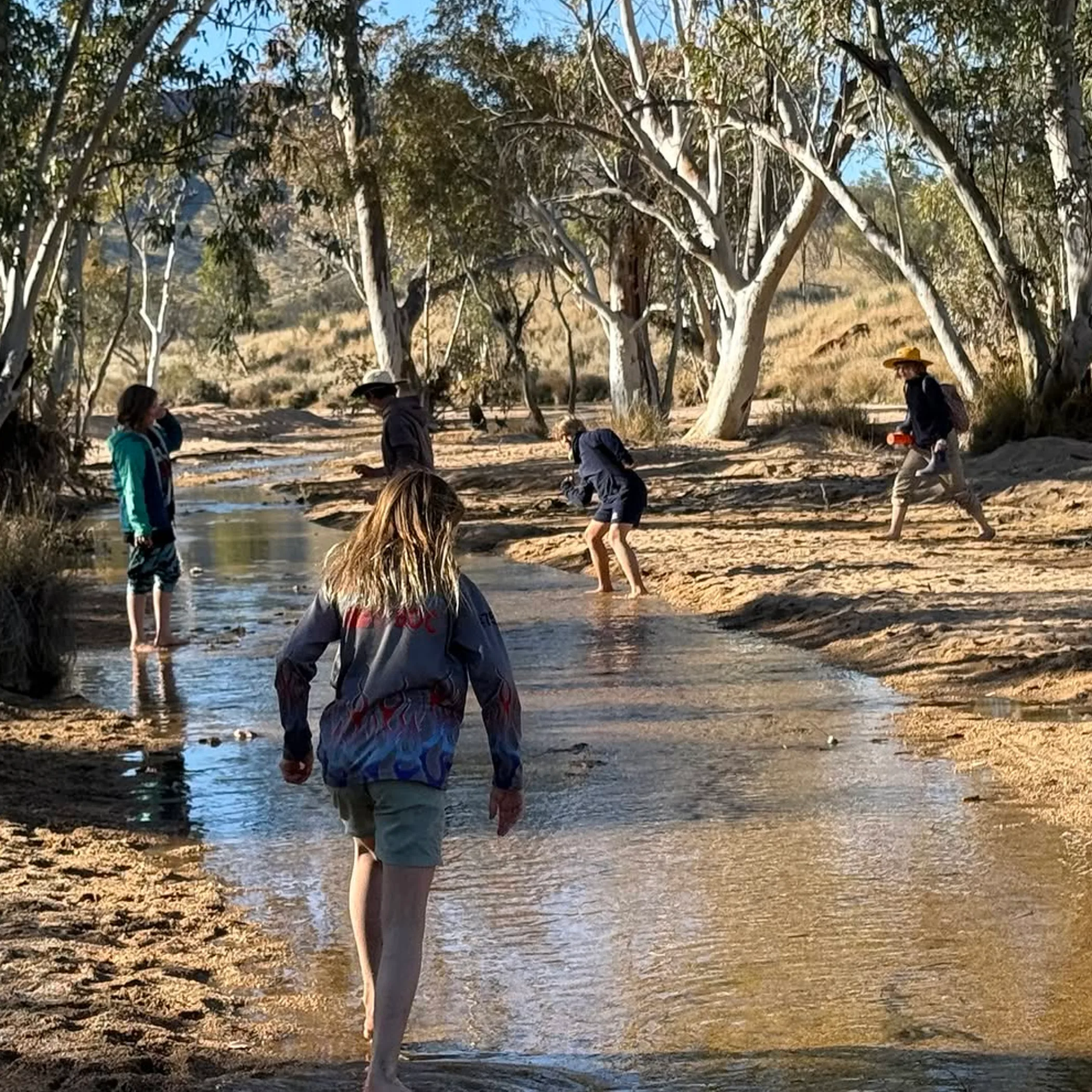
To get the best of the light and avoid the midday glare that has a way of flattening colours and making the ranges appear harsh, time your shots for early or late in the day when the ridges have some shape and depth to them.
Some Advice For Your Camera Work
If the photo of the Counts Point lookout is to be anything like the real thing, put in some movement and don’t just have a lazy go at midday. A phone will suffice in good light but the heat will run through your battery so have some reserve power on hand. And steady yourself on exposed ground where the wind is stronger than you think before writing it off to the camera.
A Checklist For Planning
For those who prefer to have things in order before leaving the driveway, here is the unvarnished version. There is nothing glamorous about being underprepared in the Red Centre.
- From Alice Springs you will drive to the Serpentine Gorge area on Namatjira Drive.
- Check with Northern Territory Parks on any camping rules or closures.
- Set aside 5 to 7 hours for the hike to Counts Point and the driving.
- Have your water, food, sun protection and offline maps to hand.
- This is not a beginner’s affair or a casual pit stop between other sights.
Henry’s View
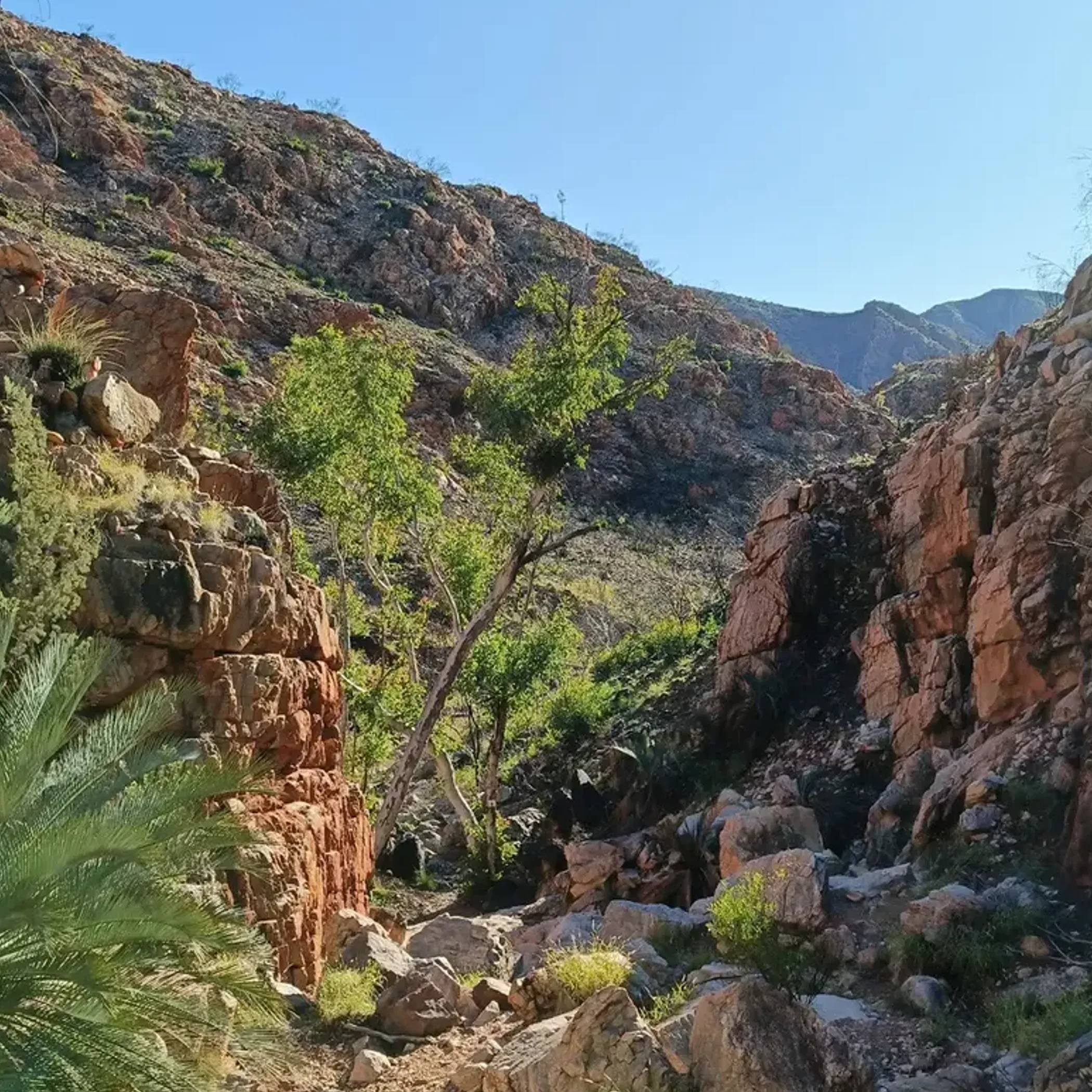
Counts Point is for the walker who knows the Larapinta is not some ornamental line on a map and does not mind putting in the work for a view. With the right preparation and expectations it is one of the more rewarding day-hikes in the West Macs. But if you are fit and well-organised and in the mood for a good day out in the Red Centre, this is a beauty. If you are short on water and fancy a quick pre-lunch stroll, do yourself a favour and pick a shorter option close by.
FAQ
Travellers will want to know if Counts Point is worth adding to their plans before they commit. Understandable, better to have the details sorted than to come to it on a ridge baked by the sun.
How Long Is The Hike?
Most people allow 5 to 7 hours return for the 15 km or so from the access side at Serpentine Gorge, weather and fitness permitting.
What Grade Is It?
Put it down as a grade 4. You will have rocky ground, exposure and elevation gain, so it is more for the experienced.
Is Camping Possible?
Official booking and availability can change so consult Northern Territory Parks before you set off.
Getting There
There is no public transport for this, so the norm is to self-drive or be guided. From Alice Springs you would take Namatjira Drive into the park and start in the Serpentine Gorge area.
Where On The Larapinta?
Section 8 of the trail in the West MacDonnell National Park, west of Alice Springs. Access is usually via Serpentine Gorge for the elevated lookout over the ranges.
